
- CollegeCentral Saint Martins
- CourseMA Graphic Communication Design
- Graduation year2025
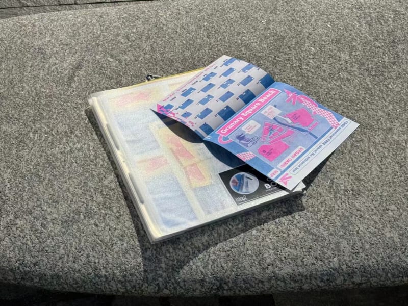
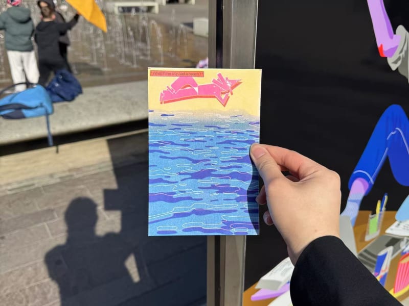
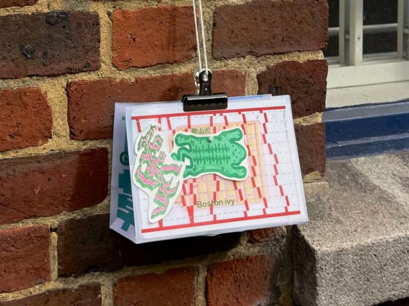
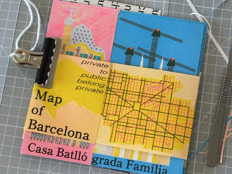
This project centers on the process of Citywalk exploration, primarily based in London, while drawing comparisons with experiences in other European and Chinese cities to inform critical and reflective design thinking. Throughout the exploration, the map is used as a medium to represent the evolving thought process — documenting a journey from map replication to map creation.
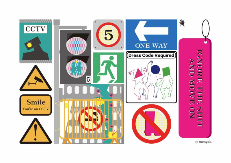
By investigating the structures of urban architecture, infrastructure, and devices, the project examines the spatial boundaries across different areas of London and poses critical questions such as: What is public? and Does true publicness exist?
The project is conceived as a design process — indicating that it is still ongoing and evolving. In its current development, the project extends to the conflict between teenage roller skaters in East London’s Stratford area and the public spaces they navigate. Once again, maps are used as tools to document these social issues, enabling a structured analysis and exploration of problem boundaries.
Final work
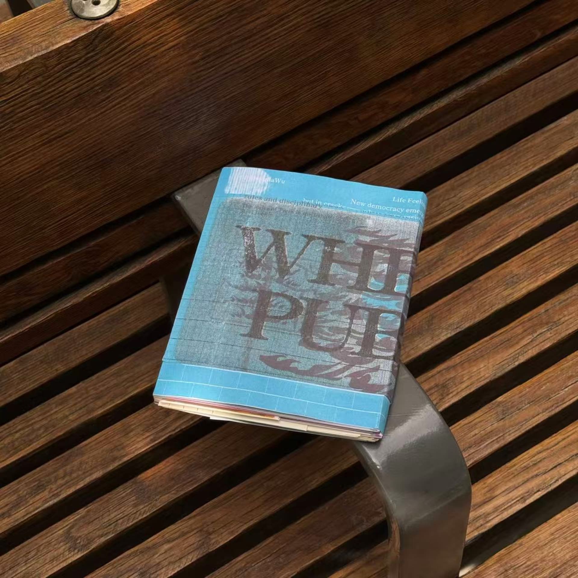
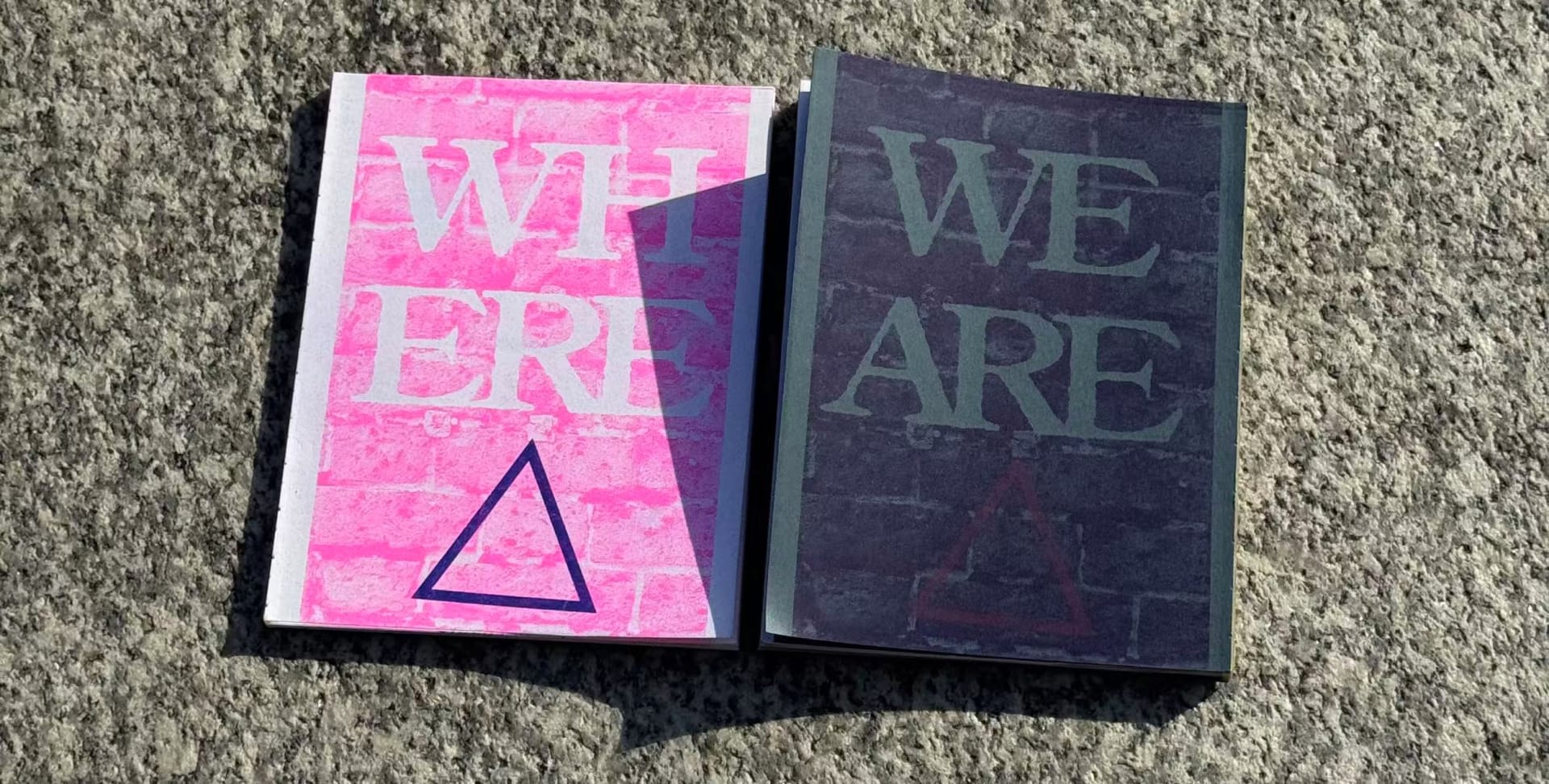
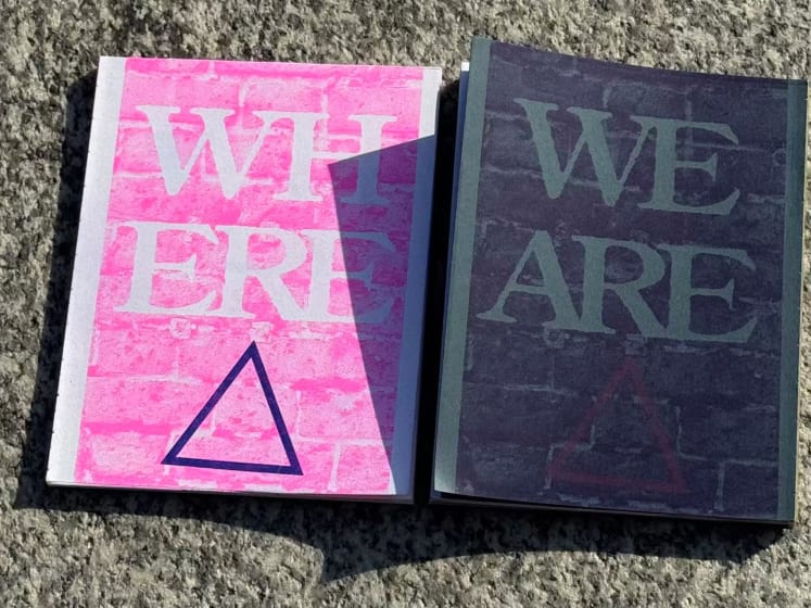
‘Where Public? we are Public.’
‘Where Public? we are Public.’
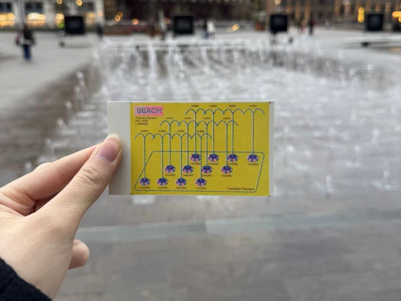
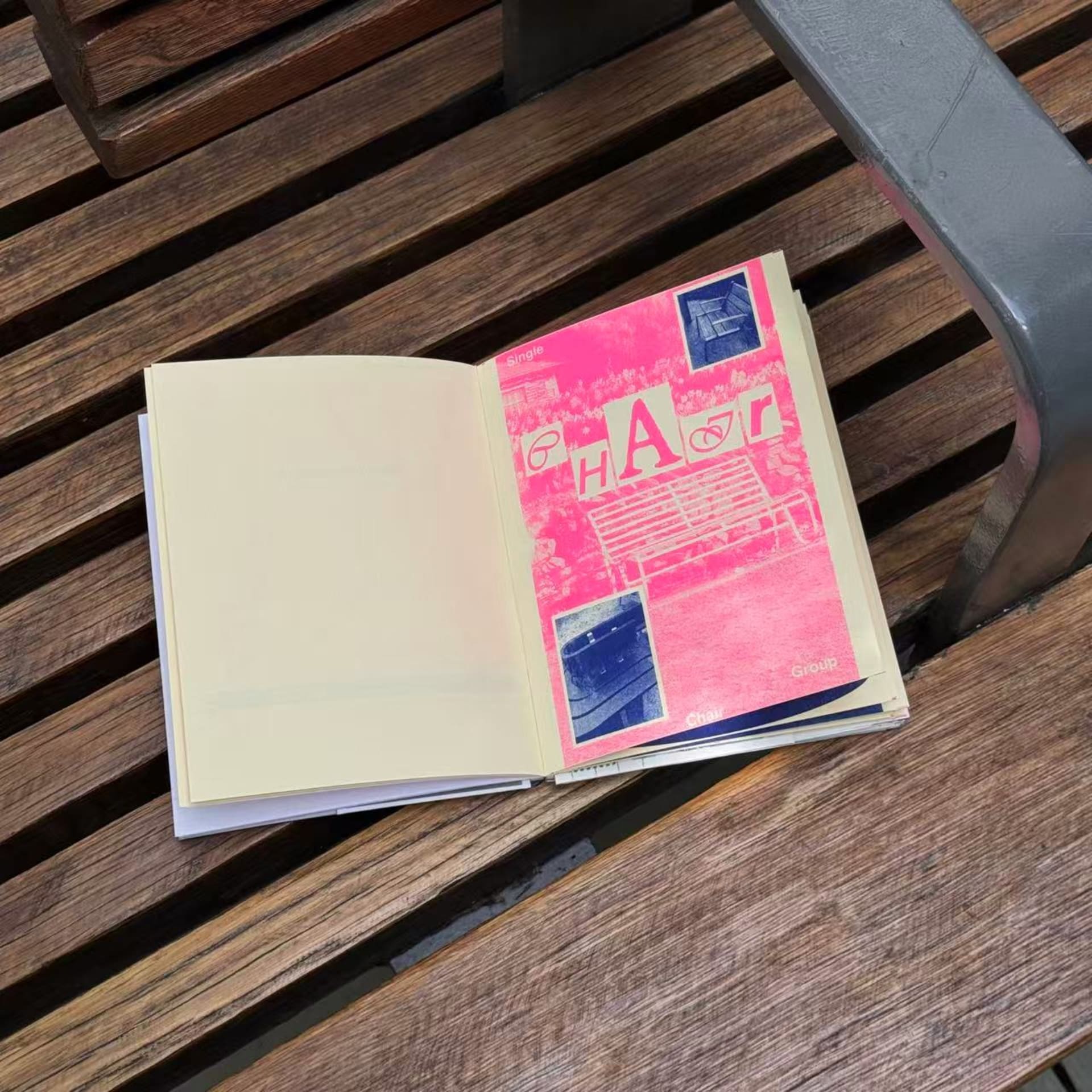
Research and process
Share this project
A link to this page has been added to your clipboard